The Changing Outer Hebrides: Galson and the Meaning of Place by Frank Rennie, published by Acair Books, has been shortlisted for the 2020 Highland Book Prize.
The Changing Outer Hebrides: Galson and the Meaning of Place by Frank Rennie, published by Acair Books (history and nature).
This is a fascinating and intimate account of the inter-relationship between one small island village in the Hebrides and the wider world. From the formation of the bedrock 3 billion years ago, to the predictable near-future, the layers of this unique landscape are explored. The social history of the people is closely interwoven with the natural environment in a journey of deep mapping to consider the meaning of special places. Through the Iron Age and the Clearances to the contemporary events of community land ownership, a portrayal is given that challenges the perception that this is a remote place, isolated at the edge, but instead is crucial to our contemporary relationship with the land.
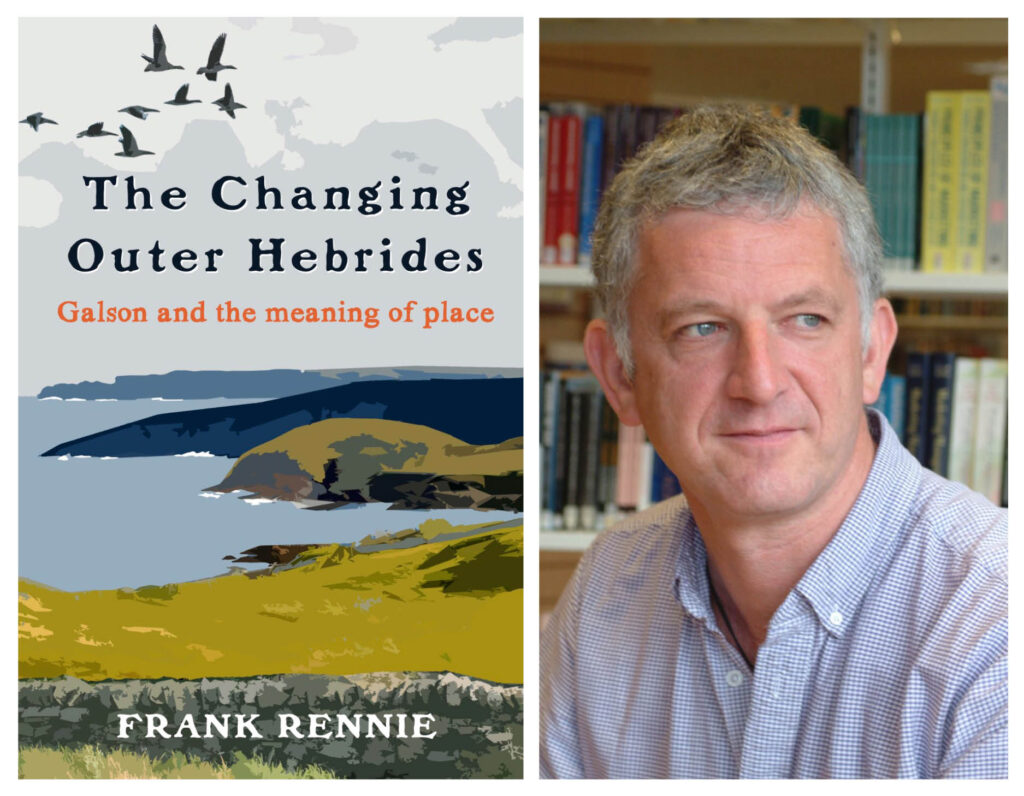
Frank Rennie is the Professor of Sustainable Rural Development at Lews Castle College of the University of the Highlands and Islands, where he works on human ecology, rural issues, and education. As a natural scientist, he has strong roots in the landscape and community, and has a passion for presenting good science in everyday language. He travels widely and has published more than 30 books in both Gaelic and English. Frank lives with his family in Gabhsann.
Acair was first established in 1977 and in 2018 was formally established as a Scottish registered charity. This designation reflects the not-for-profit principles on which the company was established, together with a commitment to the highest quality content and production values. Acair’s focus as a publisher is Scottish Gaelic children’s books and a wide range of titles in Scottish Gaelic and English, with many related to history, nature and social issues. Acair’s list includes approximately 100 books as well as children’s books in a range of genres, bilingually and in several languages.
Visit: www.lews.uhi.ac.uk/frennie
Excerpt from The Changing Outer Hebrides: Galson and the Meaning of Place by Frank Rennie (Acair, 2020)
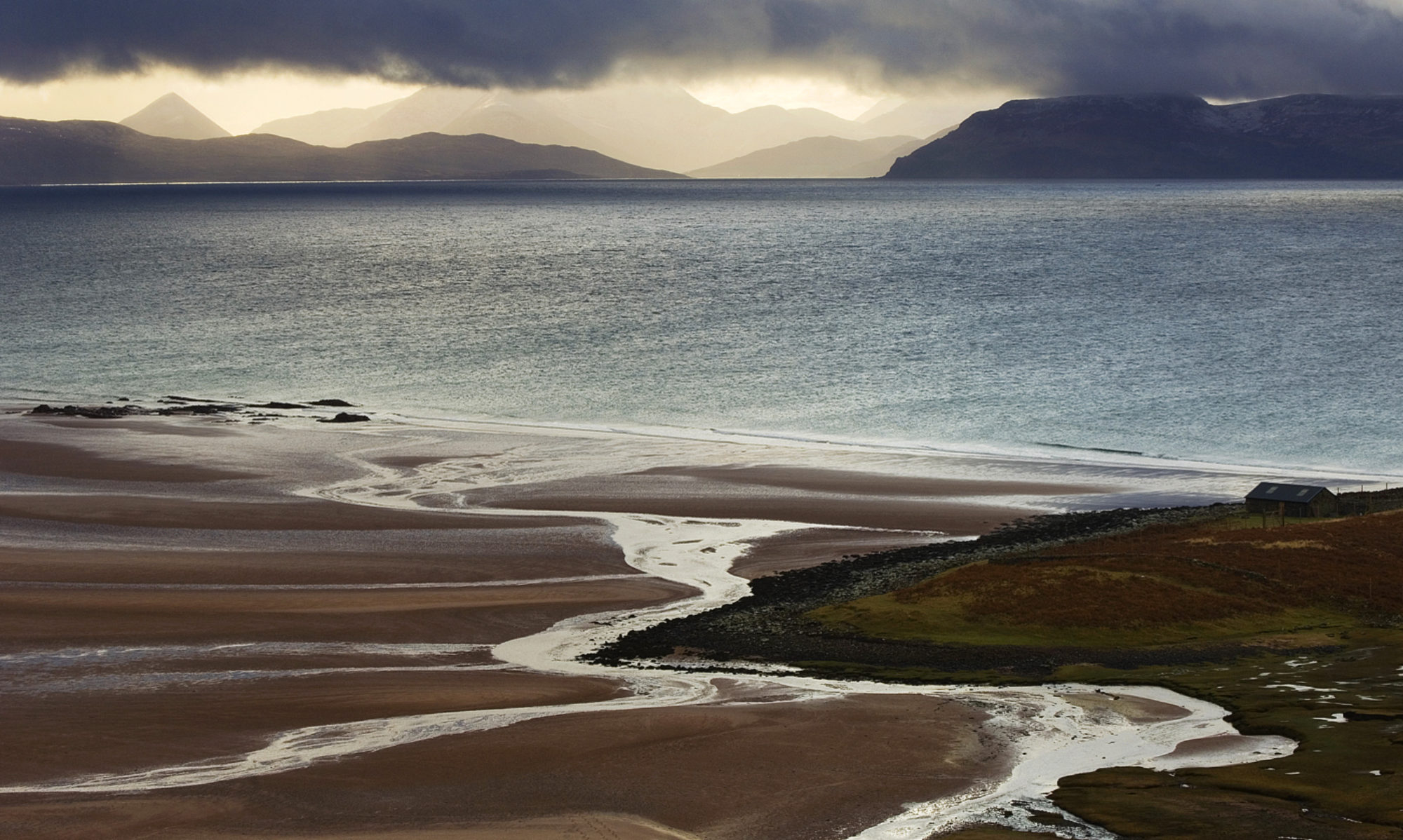
The Gaels, who have inhabited this landscape longer than anyone can remember, have named every part of it that was familiar to them (which is in fact everything) as did the Norse settlers, who came, stayed a while, then left or intermarried. Some people say that, as a general rule, the names of places which can be seen as landmarks from the sea, have names derived from the Norse, while the inland names were given by the Gaels. Superficially this has some truth, but as always there are many exceptions and oddities. There are names of places which betray a Norse derivation, but which are rendered now in the Gaelic mode of spelling. There are place-names whose meaning and origin are now lost beyond time. What is clear from the topographical nomenclature is that the Gaelic-speaking inhabitants were intimately familiar with every part of their landscape. The naming of the configurations of the land is intimately connected with the Gaelic language, and the Gaelic language is intimately reflected in the nature of that indigenous landscape. Land which might be simply called ‘moor’ in English has a wide diversity of descriptive names, based perhaps on the geomorphology, the colours, the predominant covering of vegetation, and/or the perceived usefulness of that land. This land is not the deep, fertile farmland common further south, but it is neither a wilderness, nor is it bleak. Neil Gunn, in one of his Highland novels The Other Landscape, explores the concept of a hidden landscape beyond the visible one. He describes it to be like having two similar conversations with different men and liking the first man but distrusting the second because some ‘other conversation’ in the subconscious background led him to detect features and characteristics which gave different interpretations of what he could actually see. Some people read landscapes like this, and these are the impressions that I have as I walk, and work, and live in Gabhsann.
There are subtle distinctions between a knoll (bacan), a little hillock (cnoc), a hill (beinn) a rounded hill standing apart (cruach) and the ridge of a hill which is the edge of a precipice (faobhar). A Gaelic-speaking traveller would welcome the descriptive terminology of the land, in much the same manner as Aboriginal songlines, which give details of the landscape that travellers expected to encounter. Navigational points such as an abair (the confluence of two streams) a blianag (a green, level spot of land) or a bugha (a green spot by the windings of a stream) and a dronnag (the highest point of a ridge) are as distinctive as they are self-descriptive. Enthusing over a map today, I am left in my imagination, wondering who in the past made use of a cro-sheilg (a hiding place for hunters), or a dìon-aite (a place of refuge or sanctuary) or who practiced falach-fuinn (land-hiding: taking advantage of every natural feature on the landscape to hide themselves).
It was necessary for those who worked the land for their survival to know the difference between artach (stony ground) and banbh (land unploughed for a year), between claigionn (the best field of arable land on a farm) and daibhir (the worst pasture of a farm). Wildlife was an intimate facet of life to those early residents of Gabhsann; the coastline to the north of the village is guarded by Sgarbh Sgeir (the reef of the Shag) and to the south by Stac an Dobhrain(the sea-cliff of the Otter), while in the interior moorland, Blàr nam Faoileag (the level, flat spot of the gull) and Blàr nan Stearnag(the level, flat spot of the Tern) advertise their faunal residents. (I once had a friend visiting, who enthusiastically announced that he had found a ‘new colony’ for the survey of terns that I was doing at that time, and when I produced an Ordnance Survey map in anticipation, he plunked his forefinger down on Blàr nan Stearnag,which has been known by that name probably for several hundred years: it helps to understand the language of the land that you are passing through.) The description of the land is also recorded in fine gradations of detail according to the most distinctive flora, so an area is fineagach when it is full of Crowberries, or eachrann (a place where Brambles grow) dearcach (abounding in berries) or named according to the very many trees and bushes that provide ground-cover, such as coille-challtuin (Hazel wood) or conasgach (abounding in Gorse) or bùnnsach (a spot where Willows grow). This landscape was neither ‘bleak’ nor ‘monotonous’ to those who named it; each slope and turn of the topography was significant and full of detail.
At the eastern edge of Gabhsann, lots of small feithean (very small channels in the bog that have been opened by seeping water) feed into a slightly larger conduit, such as Feadan Hiadagro(the small watercourse of Hiadagro) which in turn flows into a marginally larger stream (allt) such as Allt Stiuacleit,or the burn in Gleann na Siga, which empties itself into the the even largerAbhainn Gabhsann bho Thuath (North Galson River) and then to the ocean. Such is the capacity of the moor to absorb and retain precipitation that these waters run all year long, although in the drier summer months the smaller rivulets may flow quietly underground (a còs-shruth) through the peat, unregarded and unnoticed by human visitors. The Gaelic names for wet places seem almost innumerable. The common term ‘bog’ that has descended into English use is a poor, shorthand version for a myriad of different hydrographic and vegetational situations ranging from the welcome fior-thobrach (a place abounding in perennial springs or wells) (there are at least five wells in the village of Mealabost, five in Gabhsann bho Dheas, and another four in Gabhsann bho Thuath) through the càthar (mossy, soft ground, in the dry part of a peat bog) or a currach (a bog where shrubs grow) to the place which is boglach (quagmire) and could spell the end for careless livestock, or the crofter who goes to look for them.
For the Gaelic-speaking travellers across this landscape, their route is well marked-out – even if they have never travelled there before – because the nomenclature of the land describes this land in detail. Neither so fluid nor so formalised in tradition as the Aboriginal Songlines of Australia,44 nevertheless, the Gael would know the specific shapes of the landforms to be encountered on the journey, the colours of the land, perhaps the dominant vegetation to be travelled across. This is not a landscape which has been deprived of people. This is not a landscape which is unknown, even if fewer people now traverse its mosses. This landscape is neither barren nor bleak. This is not a wilderness.
The Changing Outer Hebrides: Galson and the Meaning of Place (Acair, 2020)